Drone Service Provider
Capturing up to 5 commercial real-estate and construction projects a day with automation.
“Automating missions is how I have been able to build a profitable business, and provide a consistent and high quality product.” - Tony Simek, Southwestern Aerial Studios
Southwestern Aerial Studios — Drone Service Provider
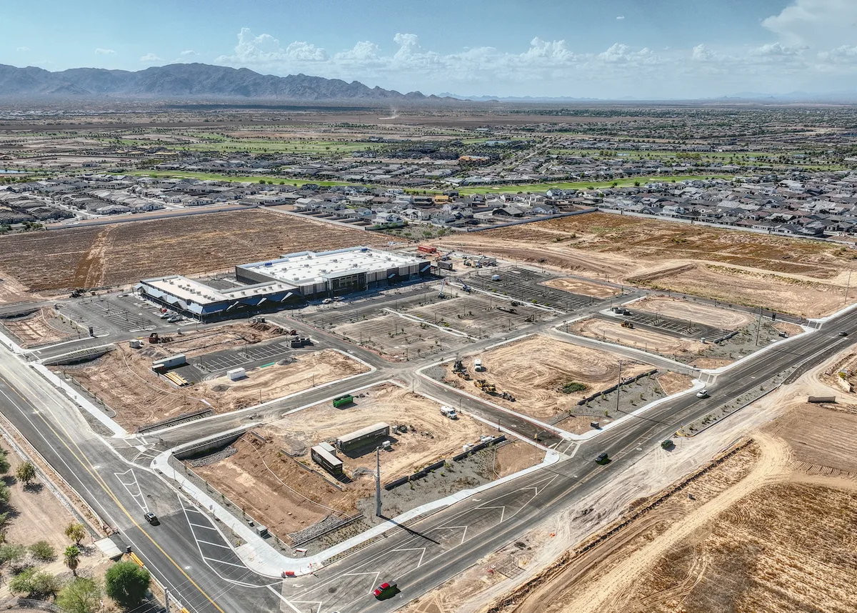
A small DSP in Phoenix, Arizona that services commercial real-estate, property management, and construction customers. Deliverables include orthomosaics, progress photos, HDR hero photos and videos, used for progress monitoring, marketing content, and community updates.

Consistency and Scale through Automation
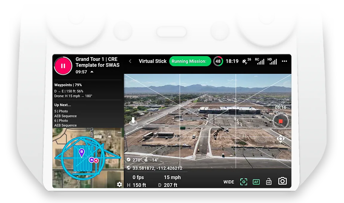
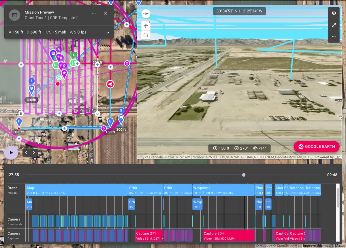
SWAS automates everything in a mission; ensuring that every customer requirement for each site will be achieved before flying the site. Mission previews are used to communicate the expected deliverables, removing miscommunication and costly re-shoots.
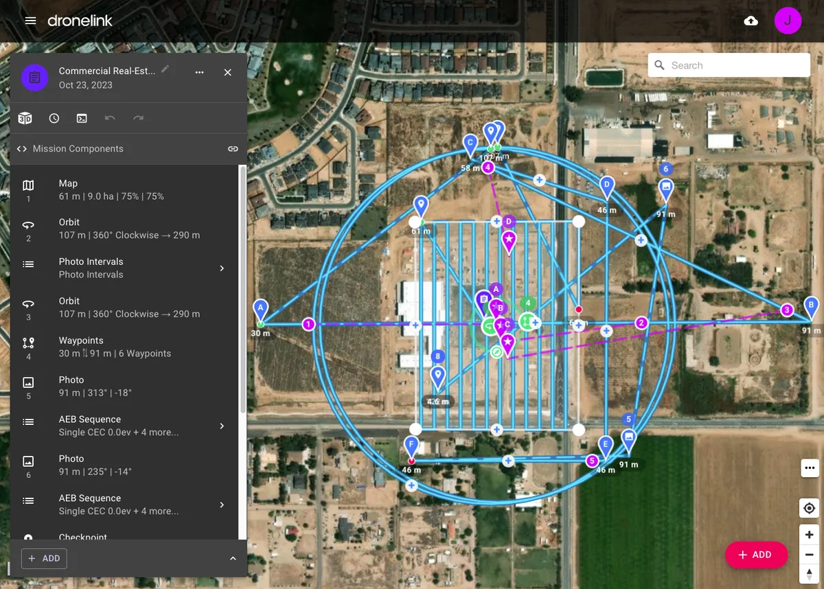
Reusing Missions and Components
SWAS reuses mission plans they have perfected, and adjust them to each new site, using the 3D preview tools, saving lots of time for new sites. They also re-used other mission components created by the community, such as the AEB photo sequence.
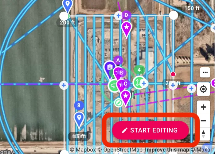
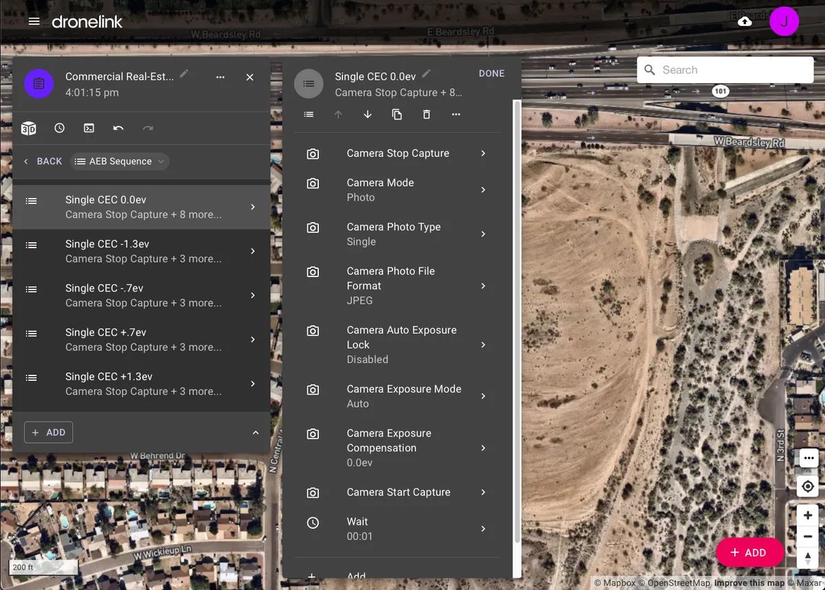
Enable HDR / AEB Photos for Mavic 3 Enterprise
SWAS enhanced what their drone could do using powerful Dronelink features to automate camera and drone commands. In this case, the Mavic 3 Enterprise and Pilot 2 app do not support AEB photos (exposure bracketed photos), however Dronelink enabled that feature.
Data Processing and Delivery
SWAS processes captured data using several tools; including WebODM to create orthos, Final Cut Pro to edit videos, and Affinity Photo to stitch AEB photos into an HDR photo. Data is delivered to customers using a shared Google Drive folder.